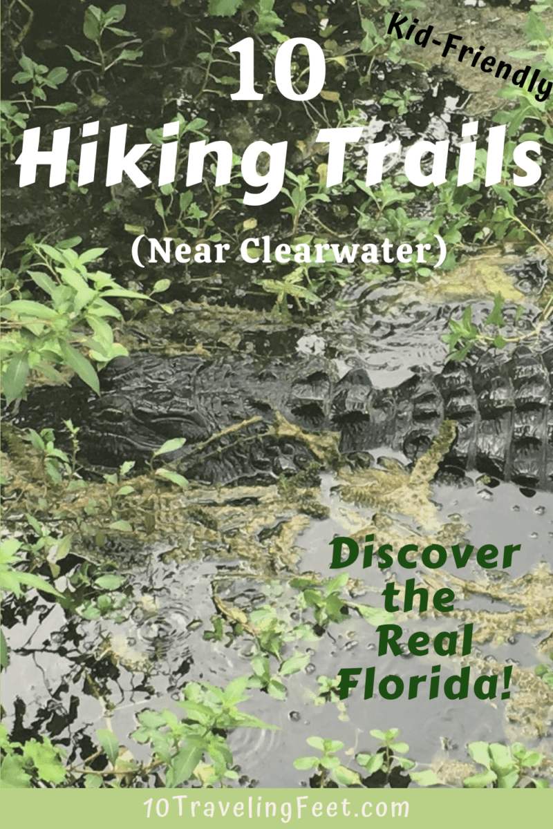
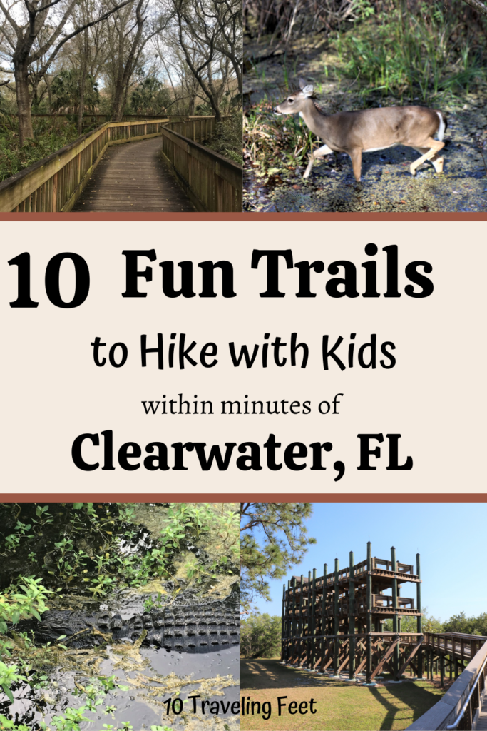
Are you looking for fun trails to hike in Pinellas County, Florida with your family? Do you enjoy walking through Florida’s diverse natural habitats and seeing its incredible wildlife? Did you know that you can do all of this and more within minutes of the popular city of Clearwater?
It’s true! And having lived in this beautiful area almost my entire life, I’d love to share with you Pinellas County’s best hiking trails and show you some of the incredible landscape and amazing animals you may find while hiking here.
10 Fun Kid-Friendly Hiking Trails in Pinellas County:
Click Below to Go to a Specific Hike
John Chestnut Sr. Park
Brooker Creek Nature Preserve
Weedon Island Preserve
Honeymoon Island State Park
Wall Springs Park
McGough Nature Park “Turtle Park”
Kapok Park
Eagle Lake Park
Largo Nature Preserve
Walking the Florida Botanical Gardens
& How to Walk to Caladesi Island State Park
Sawgrass Lake Park
Trail Distance: 1.9 mile roundtrip loop (1 mile long boardwalk, 0.5 mile dirt trail)
Trail Difficulty: Easy
Length of Time: 1–1.5hrs
Cost: Free
Restroom: At Visitor Center
Location: 7400 25th St N, St. Petersburg, FL 33702
Trail Map: Sawgrass Lake Park
How to Visit Sawgrass Lake Park
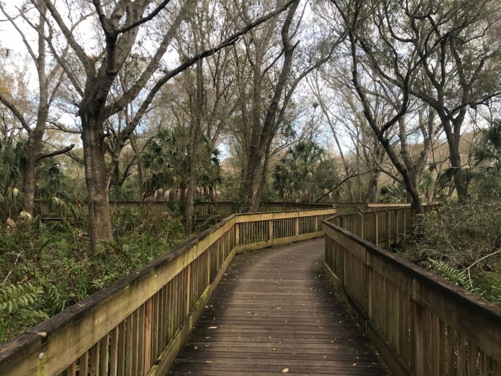
Sawgrass Lake Park is one of my favorite hiking trails in Pinellas County! It’s short, it’s easy and it’s jam packed with diversity. Here you can…
- Walk through one of the largest maple swamps on the west coast of Florida.
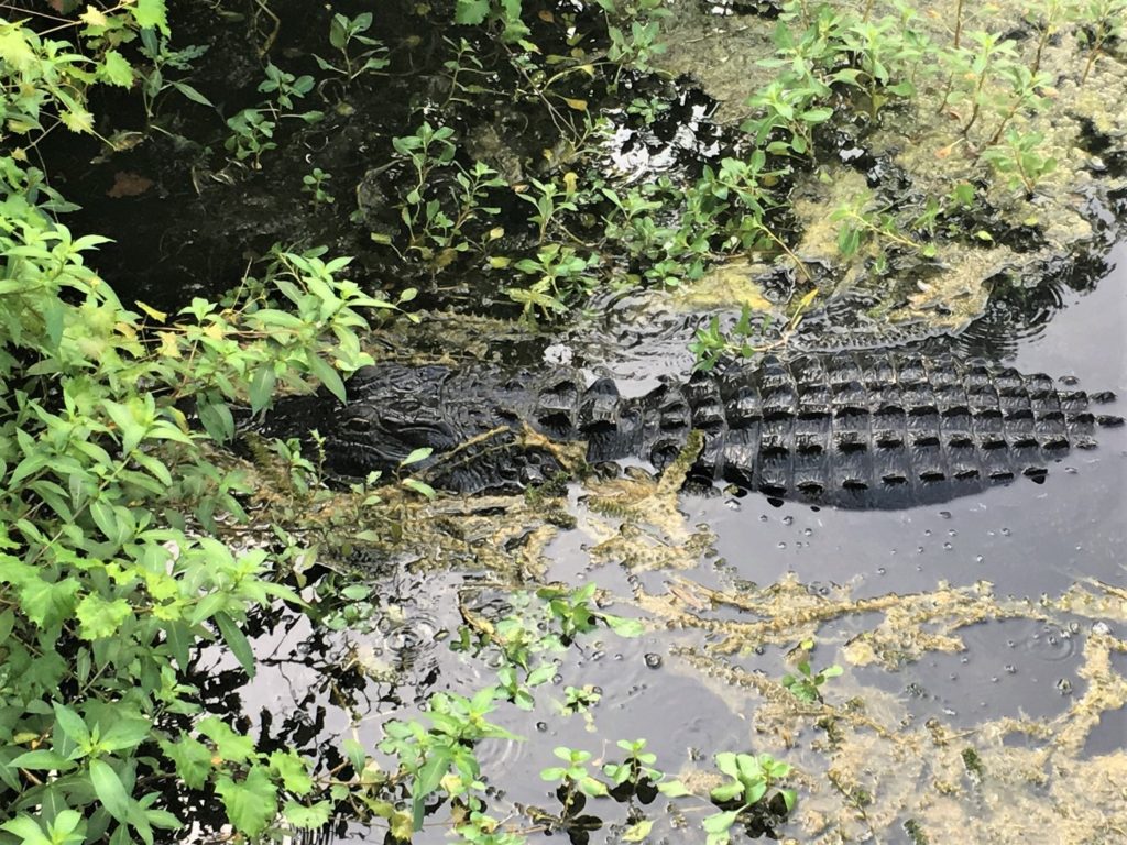
- Traverse a picturesque 1 mile boardwalk over wetlands in search of alligators. (We’ve seen an alligator here almost every time we’ve visited!)
- Climb the treehouse-like observation tower for a beautiful view of Sawgrass Lake
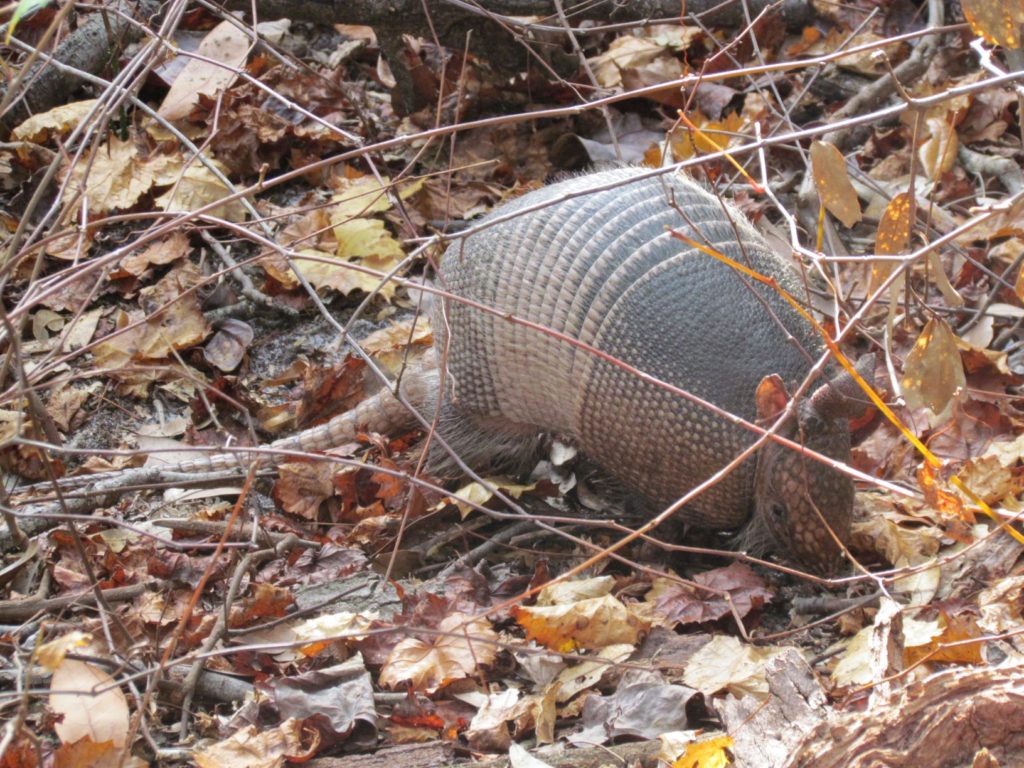
- Or simply wander the 1/2 mile long dirt path under a shady oak hammock. (while possibly watching armadillos shuffle among the leaves nearby)
John Chestnut Sr. Park
Trail Distances:
- 1.6 miles roundtrip loop (starting/ending at Shelter 5)
- or a 2.7 mile Figure 8 (Loop Starting at Shelter 5 + a Loop Starting at Shelter 2)
- 1.1 mile loop near the entrance of the park called Peggy Park Nature Trail (Start at Shelter 1 and head South.)
Trail Difficulty: Easy
Length of Time: 1-2 hours, depending on trail length
Cost: Free
Restroom: 8 Restrooms – located throughout the park
- (a few are closed M-F, but all are open on weekends)
Location: 2200 E Lake Rd S, Palm Harbor, FL 34685
Trail Map: John Chestnut Sr. Map
Tips for Hiking at John Chestnut Sr. Park
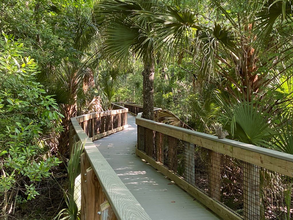
John Chestnut Sr. Park has several fantastic and easy paths to walk, with boardwalks to traverse a natural Florida wetlands and dirt paths to follow along the beautiful Lake Tarpon. Here you can…
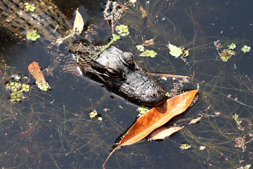
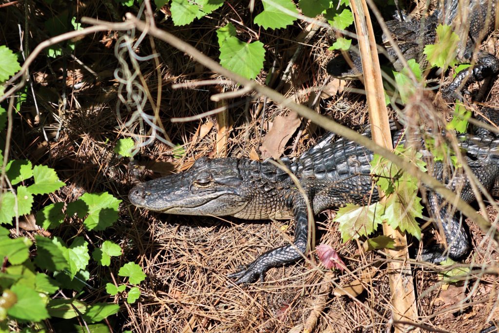
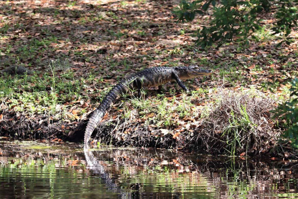
- Look for alligators in the wetlands area and out on the boardwalk into Lake Tarpon. (We’ve seen several here – babies and adults. We even seen alligators walking on the land near the water’s edge!)
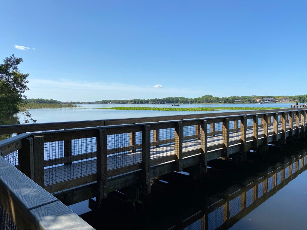
- Rent one of the 13 Shelters or one right by Lake Tarpon’s edge to relax with a fantastic view.
- Let kids play at the Playground, bring dogs to the Dog Park or have fun at the Ball Field.
- Walk to the top of the Observation Tower or out onto the Pier for more ways to enjoy this incredible natural Florida scenery.
Brooker Creek Preserve
Trail Distance: The longer trails are combined with the first 2 trails mentioned to form longer loops.
- Ed Center Trail Loop – 0.7 mile elevated boardwalk (~30 minutes)
- Flatwoods Trail Loop – 1.5 mile family-friendly dirt trail. (~1 hour)
- Bird Path – 0.1 mile natural trail (~10 minutes)
- Blackwater Cutoff Loop – 2.8 miles (~2-2.5 hours) May be closed in the summer due to high water.
- Pine Needle Path Loop – 4 miles (~2.5-3.5 hours) May be closed during the summer due to high water.
Trail Difficulty: Ranges from Easy to Difficult
- Most of the trails here remain in their natural state, which means that at times portions of them may have areas of shallow to deep standing water.
- (Signs at the trailhead will let you know if a trail is closed.)
Length of Time: 30 minutes- 3.5 hours (depending on which trails you hike)
Cost: Free
Restroom: Near the Education Center
Location: 3940 Keystone Road Tarpon Springs, FL 34688
Open: 7am until ~1hr prior to sunset
Trail Map: Brooker Creek Trail Map
How to Hike Brooker Creek Trails
Brooker Creek Preserve has fantastic hiking trails, that really let you get out into nature in Pinellas County! Just pick your trail length or what type of adventure you’re looking for and set off into this beautiful and diverse Florida environment. Here you can…
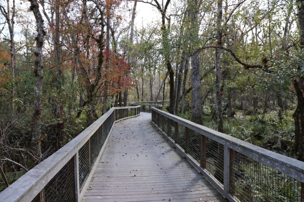
- Take a casual 0.7 mile stroll on an elevated boardwalk over Brooker Creek’s bottomland swamps. Then continue on the hard sand trails through a shady oak hammocks on the Ed Center Trail Loop.
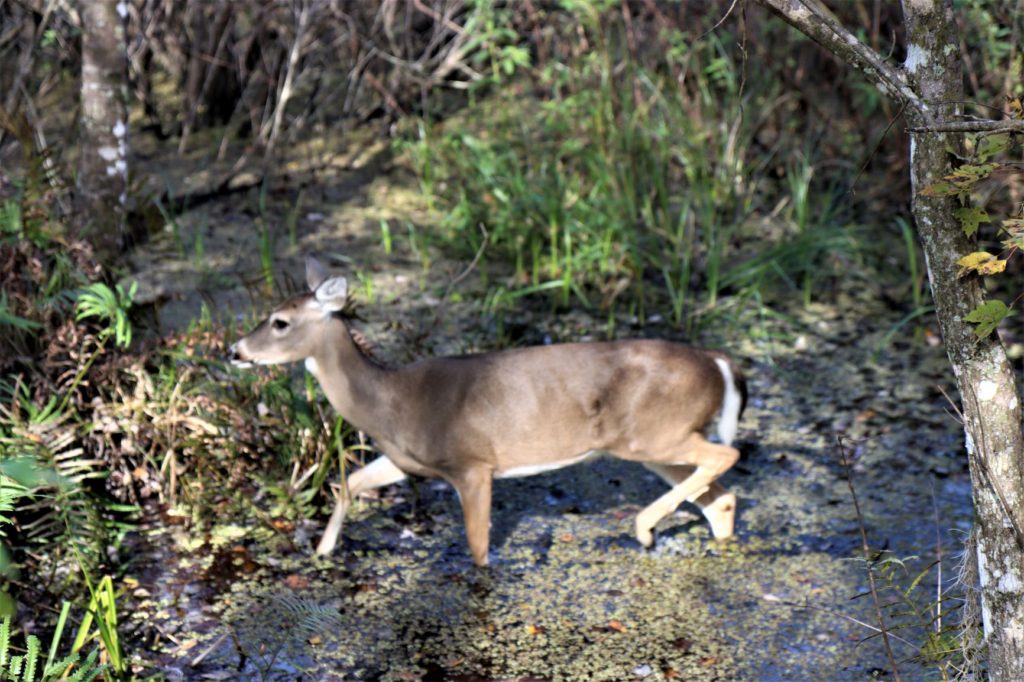
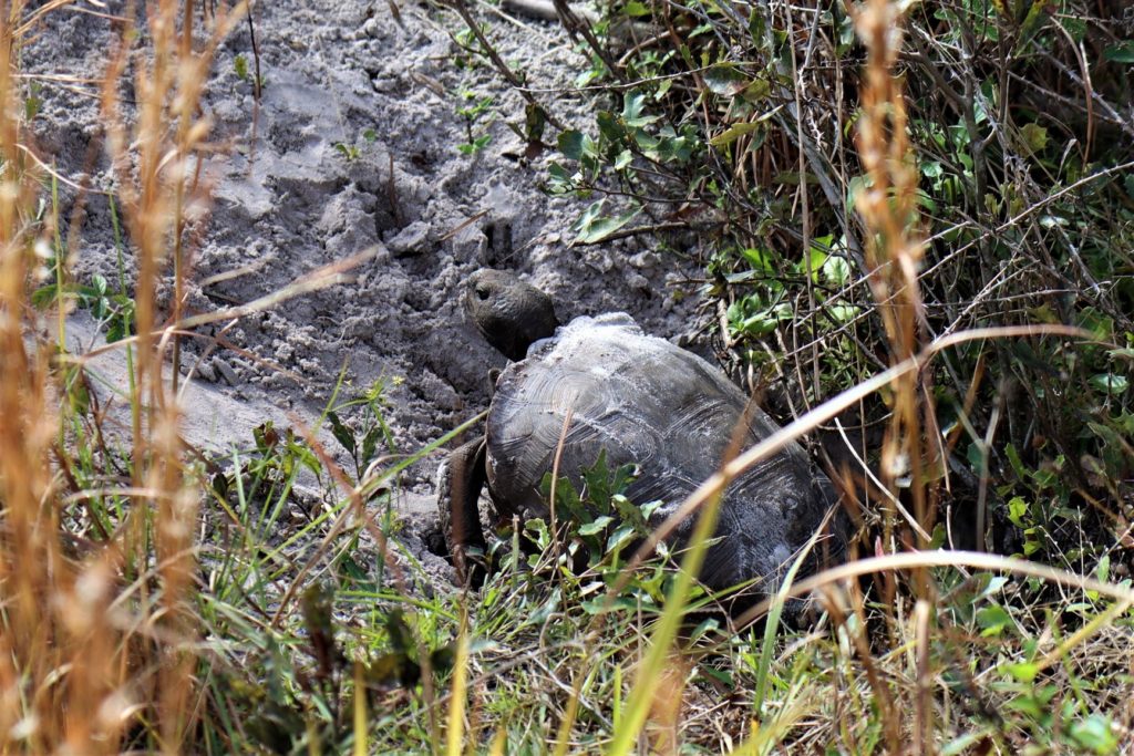
- (We’ve seen alligators, white-tailed deer and the endangered gopher tortoise on this trail.)
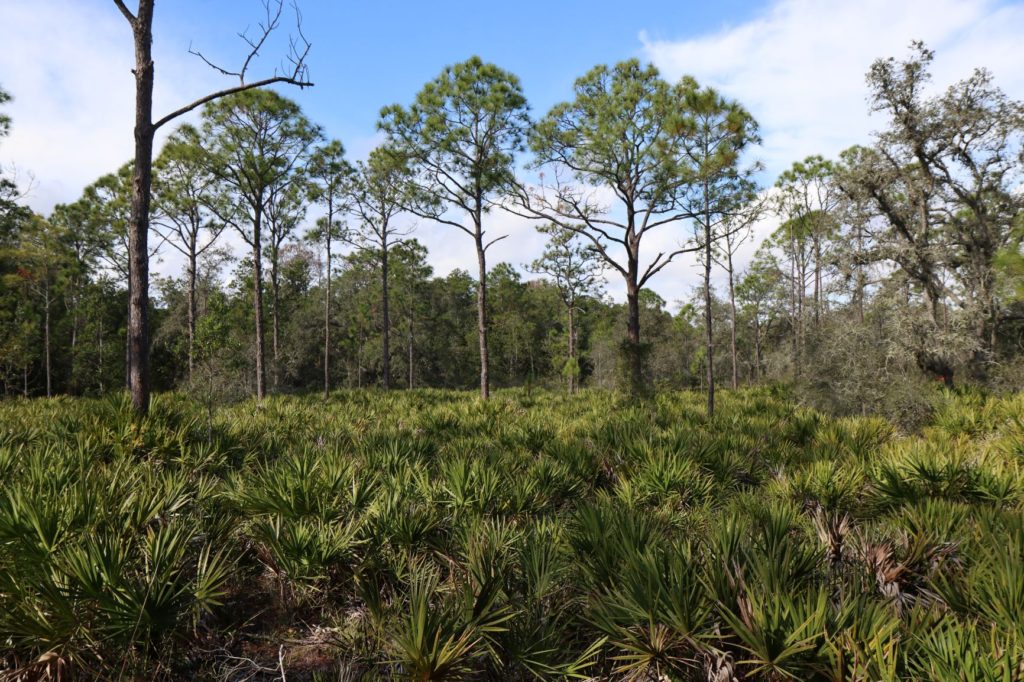
- Walk the fantastic & family-friendly 1.5 mile Flatwoods Trail Loop through a beautiful pine flatwoods habitat with beautiful low growing saw palmettos. This trail also includes the boardwalks of the Ed Center Trail that cross over picturesque swamps and through shady oak hammock habitats. To hike this trail – follow the Ed Center Trail to Flatwoods Trail to Wilderness Trail.
- This is our family’s favorite path!
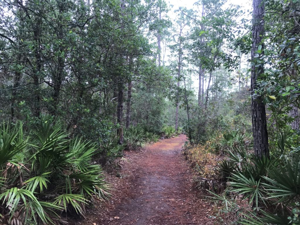
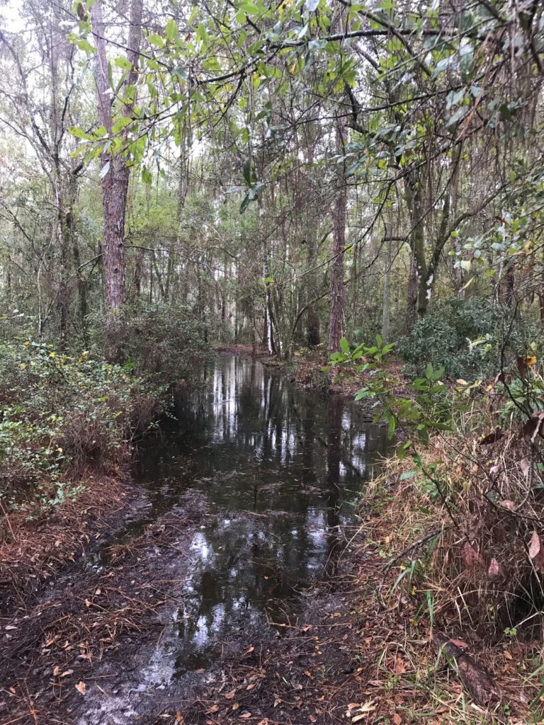
- Please know that after it rains, sections of this trail may have standing water. (See Picture Below) But when this happened to us, our family had no problem hiking around this small section off-trail around it.
- Explore the short Bird Path that ends at a freshwater marsh and provides impressive bird watching opportunities through a constructed viewing blind.
- We were fortunate enough to see Bald Eagle Chicks (off in the distance) in their nest being fed by their parents here!
- This path begins near the parking lot, just off of the Ed Center Trail.
A Difficult Trail
- Or you can go on a serious adventure through forested wetlands, on a trail that cross 2 channels of Brooker Creek and passes a cypress swamp. This is a hard 4 mile loop. (see map) (Our family has not tried this loop.)
- If you are looking to try this adventure you will probably want appropriate water shoes and gear to walk through the standing water that covers many sections of this trail.
Weedon Island Preserve
Trail Distance: 2 miles of boardwalks/ paved trails, plus 2.7 miles of natural trails.
- Boy Scout Trail is a 1 mile natural trail loop
- Observation Tower is 0.34 miles (from the parking lot) (~15 minutes)
- Bay Observation Platform is 0.8 miles (from the parking lot) (~35 minutes)
- Lookout Point is 0.8 miles (from the parking lot) (~35 minutes)
Trail Difficulty: Easy
Length of Time: 1hr 45min – 3hrs (to hike every trail/ loop)
Cost: Free
Restroom: At the Cultural & History Center and at the Pier
Location: 1800 Weedon Drive NE St. Petersburg, FL 33702
Open: 7am – ~15 minutes prior to sunset
- The Cultural and Natural History Center is open Th-Sat from 9am-4pm & Sunday 11am-4pm, closed M-W
Kayak Rental: Sweetwater Kayaks (727) 570-4844
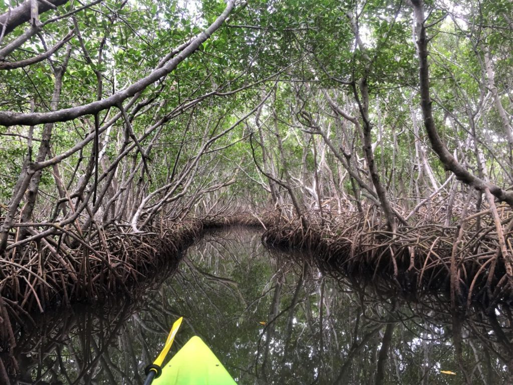
Kayak Trail: South Paddling Trail (Mangrove Trail!) – 4 miles (~3 hours)
- Best paddled at mid-high tide.
- For families, it’s best to have an adult in the kayak helping to paddle due to the tighter maneuvering thru the mangrove tunnels.
Trail Map: Weedon Island Trail Map
Paddling Trail Map: South Paddling Trail Map
How to Visit Weedon Island Preserve
Weedon Island Preserve is an outstanding place to experience Florida’s coastal ecosystem, explore trails on both land & water and discover a little about the cultural & natural history of this area of Florida! Here you can…
- Learn about Weedon Island’s rich human history that lived here from 1,000 to 1,800 years ago in the three story educational center.
- Explore what’s under the water, through mangrove swamps and back in time through wonderful exhibits that are great for all ages.
- You can even view a 1,100 year old canoe!
- Walk almost 2 miles of handicap-accessible boardwalks and paved paths that take you through tidal flats, mangrove forests, saltwater ponds, pinewood flats and to a 45 foot observation tower.
- Park in (south) parking lot, by the Cultural & Natural History Center for easier access.
- Hike the 1 mile Boy Scout Trail through pine flatwoods and across several footbridges over wet habitat sections in this area.
- Park in the north parking lot for easier access to this trail.
Kayaking
- Or Kayak the amazing 4 mile “Mangrove Tunnel Paddling Trail” (South Paddling Trail) for a unique and spectacular paddling experience.
- The parking area and launch site is located at the end of Weedon Island Drive (~1.5 miles from the preserve entrance.)
- This kayak trail is considered the Best Mangrove Tunnel this side of the Everglades!
- Just follow the numbered markers (#1-38) along this paddling trail so you don’t get lost.
- Look for the mangrove crabs that live on the mangroves as you paddle past.
- Make sure you paddle at mid-high tide to be able to get through the shallow sections near the mangrove tunnel.
- Be sure you keep a look out for the Endangered West Indian Manatee, Osprey flying overhead and Dolphins swimming past while you paddle.
- (We even saw a baby manatee with its mom here one time!)
Honeymoon Island State Park
Trail Distance:
- Osprey & Pelican Trail – 2.5 mile loop (longer if you take any of the trails that cross back and forth across the island)
- White Sandy Beaches – 4 miles to walk
Trail Difficulty: Easy trail (yet the trail is sandy and the sun can get very hot)
Length of Time: ~1 hour 30 minutes
Cost: $8/ vehicle (2-8 people), $4 (1 person), $2/pedestrian
Restroom: Several throughout the park/ by the parking lots
Location: #1 Causeway Blvd. Dunedin FL 34698
Open: 8am until sundown
Trail Map: Honeymoon Island State Park Map

How to Visit Honeymoon Island State Park
Honeymoon Island State Park is a perfect place to enjoy a fun day out hiking on a natural island trail and then relax by strolling along a beautiful white sandy beach! Here you can…
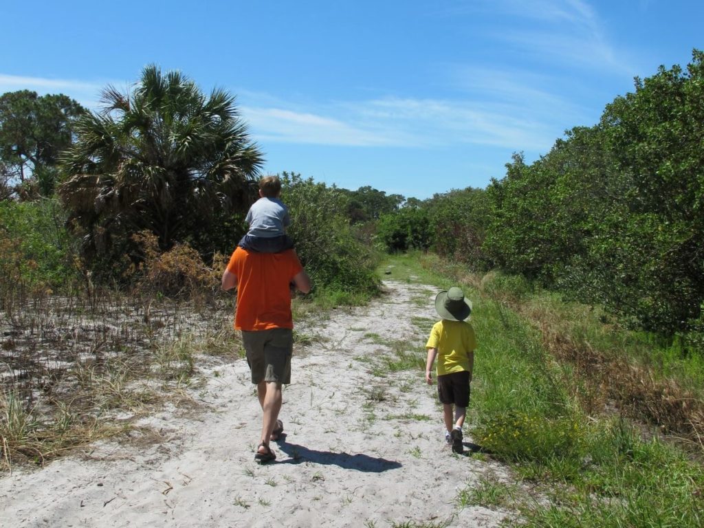
- Hike through one of the last remaining virgin slash pine forests on the 2.5 mile Osprey & Pelican Trail Loop. Some of the trees are almost 200 years old!
- View bald eagles, osprey and great horned owls that nest of Honeymoon Island in the winter and spring. (At times portions of the trail will be closed off to protect bald eagle nesting.)
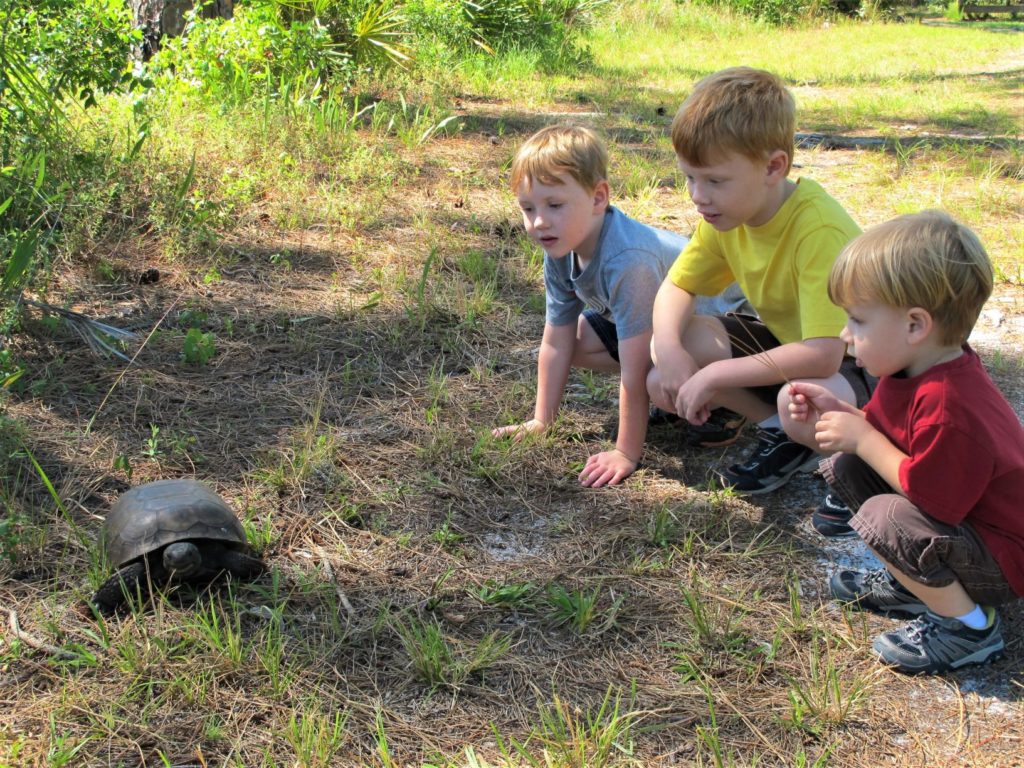
- Watch one of the island’s gopher tortoises walk slowly past along the trail.
- Visit the Nature Center (open 9am-5pm Wednesday-Sunday) and learn all about the plants and animals that can be found on this island and the nearby Caladesi Island.
- Stroll along 4 miles of white sandy beaches. (To walk the less crowded sand spit beach, park in the northern most parking lot and head north along the beach.)
- Grab a bite to eat at one of the two cafes on the island.
- Or you can catch a ferry to the beautiful and unspoiled state park of Caladesi Island. (See how to walk to this island below.)
Wall Springs Park
Distance:
- 1.1 miles of boardwalks and sidewalks through the main Wall Springs Park.
- 1.3 mile nature trail at the Wall Springs Coastal Addition. (This is just north of the main park.)
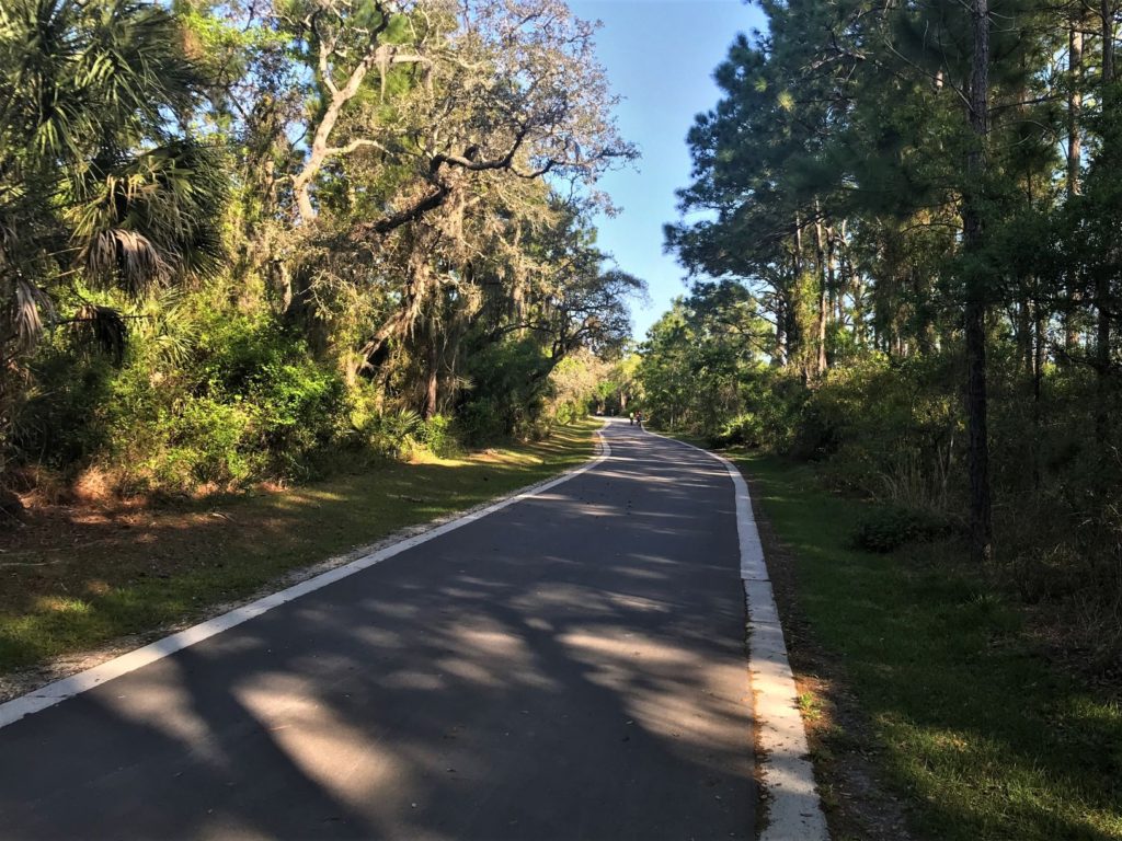
- 1.5 mile (one-way) wide, paved bike, hike, skating path from the main park, past the Coastal addition and to the the pier.
Difficulty: Easy
Length of Time: Depending on which trails are hiked/ biked
Cost: Free
Restroom: At the Main Park and at the Coastal Addition (Closed M-F)
Location: 3725 De Soto Blvd. Palm Harbor, FL 34683
- Wall Springs Coastal Addition: 621 Wai Lane Rd, Palm Harbor, FL.
Open: 7am until sunset
Trail Map: Wall Spring Park Map
How to Visit Wall Springs Park
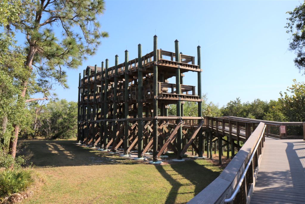
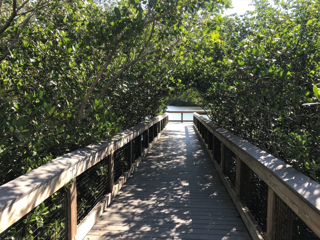
Wall Springs Park is a great place to hike, bike, see a real natural spring and climb a fantastic observation tower! Here you can…
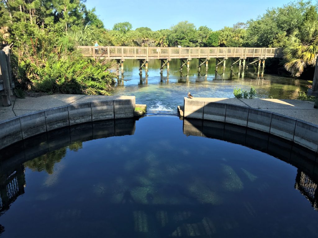
- Watch water flow up from out of the ground at a historical and natural spring that once was used as a spa and bathing area.
- As much as 10.7 miliion gallons of water can flow from the spring in 1 day!
- The spring water temperature remains a constant 74 degrees F.
- No swimming is allowed in the spring.
- Climb an incredible 35 foot tall treehouse like Observation Tower for some great views of the Gulf of Mexico.
- Wander through nature on a 1.3 mile dirt trail at the Coastal Addition. (This trail is a nice walk but it’s not very remote.)
- Bike a fun 3 mile round trip route from the main park, past the Coastal Addition and up to the pier and back. This is on a really nice, wide and paved multipurpose path.
- I don’t recommend biking through the main part of Wall Springs Park itself, even though many people do. The sidewalks are narrow and my son actually broke his arm here while biking. (They have plenty of bike racks to safely park your bike while you walk this section.)
- If you want to bike further, this park sits right next to the 47 mile long Pinellas County Trail which is a perfect place for a long bike ride.
George C. McGough Nature Park
Also Known as “Turtle Park”
Distance: 1 mile nature loop with intercoastal waterway views
Difficulty: Easy (very kid friendly)
Length of Time: <30 minutes
Cost: Free
Restroom: At the Nature Center
Location: 11901 146th St N, Largo, FL 33774
Open: Sunrise to Sunset Daily
- Narrows Environmental Center – 9am-5pm M-Sat, & 10am-4pm on Sunday
Trail Map: McGough Nature Park Virtual Tour
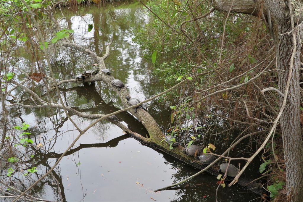
How to Visit “Turtle Park”
I love visiting “Turtle Park” in Largo. It’s just so much fun! Here you can…
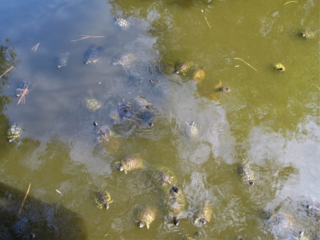
- Feed tons of turtles! Just pick up turtle food in the Environmental Education Center (for 50 cents) right by the turtle filled lake and begin tossing some to them in their pond. In no time at all you will have tons of turtles swimming below you, eagerly waiting for some yummy food!
- This is a fantastic activity to do with kids!
- Say Hello to the animals in the Narrows Environmental Nature Center too! (These were injured animals that are unable to return to the wild.)
- From Owls to Hawks to Raptors, including a Bald Eagle, Various Snakes and Tortoises!
- This Nature Center has excellent educational presentations too!
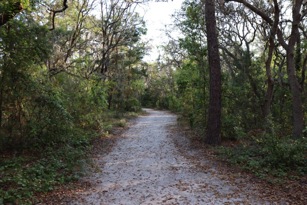
- Walk the 1 mile nature trail through a shady oak hammock and mangroves along the intercoastal waterways.
- Kids will love the small zip-line on the playground here too!
Kapok Park
Distance: 1 mile loop
Difficulty: Easy
Length of Time: <30 minutes
Cost: Free
Restroom: Yes
Location: 2950 Glen Oak Ave N, Clearwater, FL 33759
Trail Map: Kapok Park Trail Map
Tips for Visiting Kapok Park
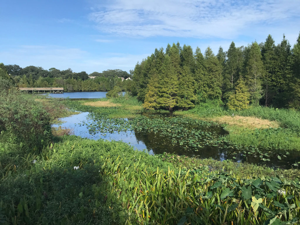
Our family only recently discovered this little park called Kapok Park, but it has quickly become one of our favorites. Here you can…
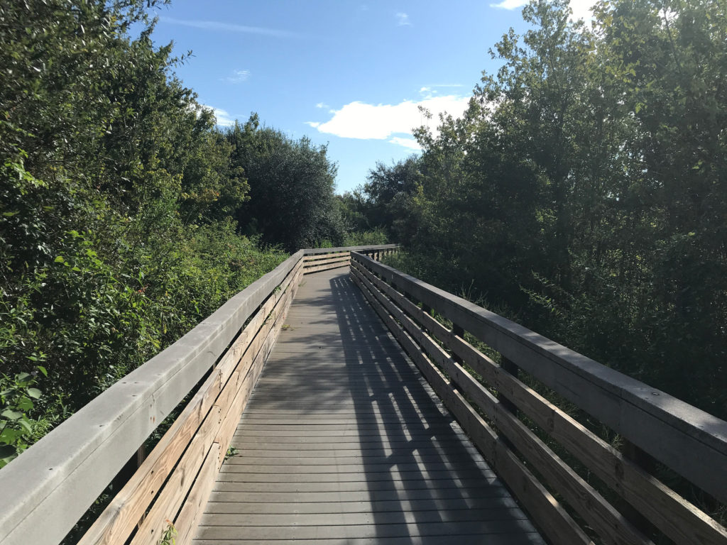
- Easily walk the boardwalks and feel like you’re out in the middle of nature.
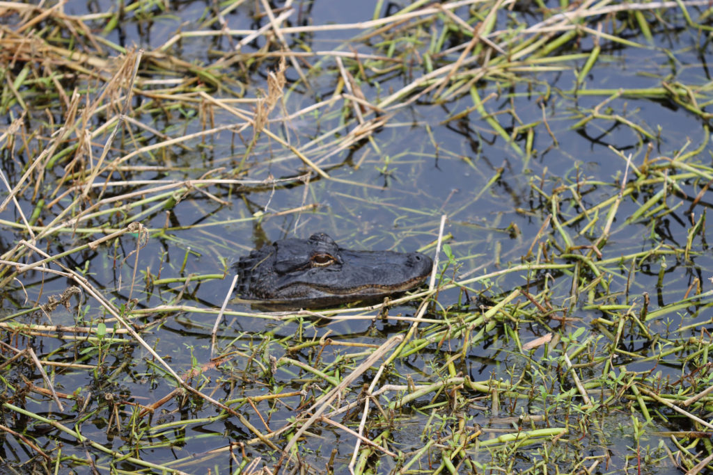
- See Florida Wildlife like Egrets, Osprey and Alligators in just a short distance. (We’ve seen small alligators in the water every time we’ve visited. And that’s a lot of times!)
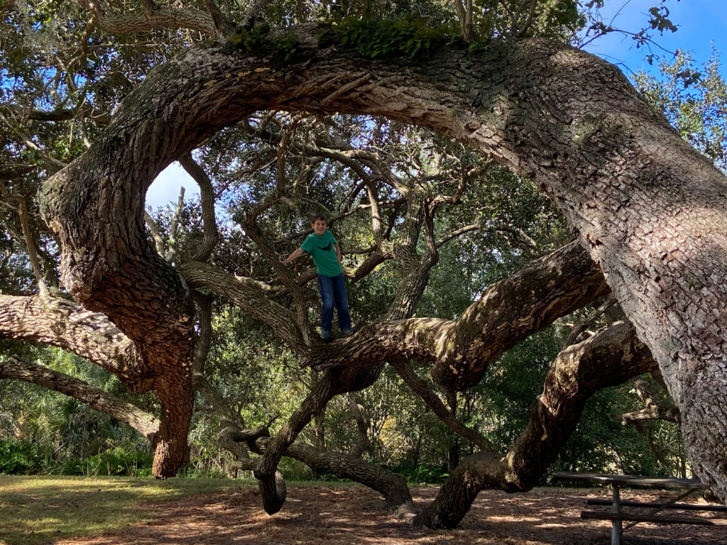
- Relax and have a picnic lunch under some insanely cool Live Oak Trees. (See Below)
Visiting Tip: Our Favorite Section is the Boardwalks on the east side of the park, so if you are pressed for time, head there first.
Eagle Lake Park
Distance: Several Loops allow you to walk a 1/4 mile path to a 3 mile loop.
Difficulty: Easy
Length of Time: Depending on how far & which loops you walk
Cost: Free
Restroom: 3 locations in the park
Location: 1800 Keene Road, Largo, FL 33771
Open: 7am until Sunset
Trail Map: Eagle Lake Park Trail Map
Visiting Eagle Lake Park
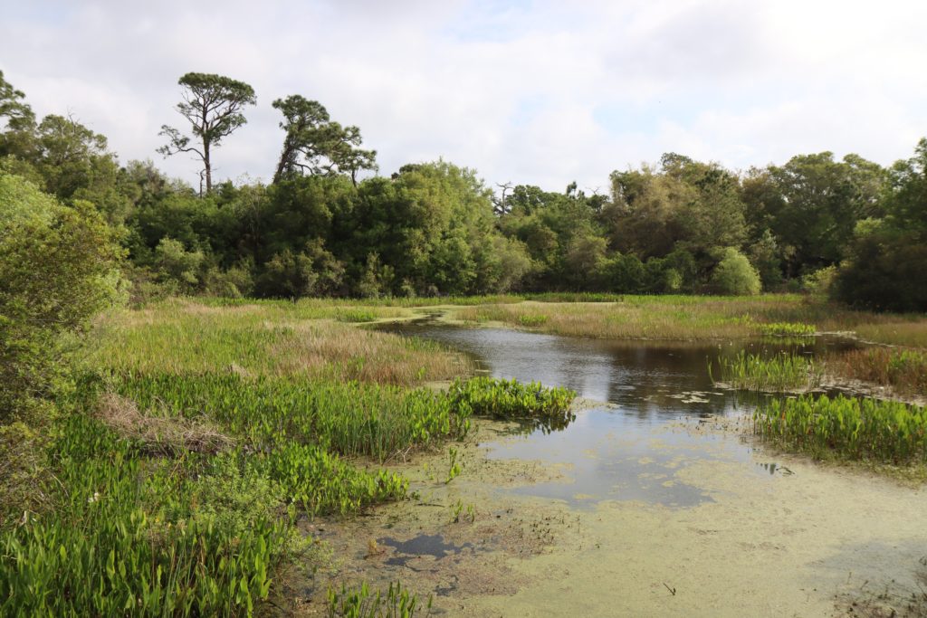
Eagle Lake Park is a great place to go for a relaxing walk or bike ride on a wide paved, stroller friendly path past several beautiful lakes and lots of wildlife! Here you can…
- Enjoy the 12 foot wide paved recreation trail that weaves throughout this park!
- Explore 2,000 feet of beautiful boardwalks over the restored wetlands.
- Wander along several shell paths on the southern end of the park to relax in nature.
- View animals! From the numerous bird species (including Bald Eagles & lots of water birds) to gopher tortoises, otters and the large fox squirrel.
- Other great amenities include: a dog park, a farm themed playground, 6 pavilions and several piers to walk out over the lakes.
Largo Nature Preserve
Distance: 1.1 mile loop, plus interior boardwalk sections
Difficulty: Easy
Length of Time: ~30 minutes
Cost: Free
Restroom: Near Parking Lot
Location: 150 Highland Ave N, Largo, FL 33770
Trail Map: Largo Nature Preserve Website
Visiting Largo Nature Preserve
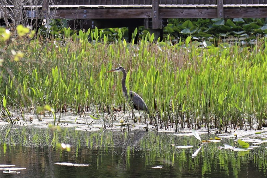
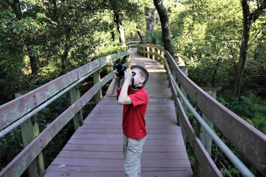
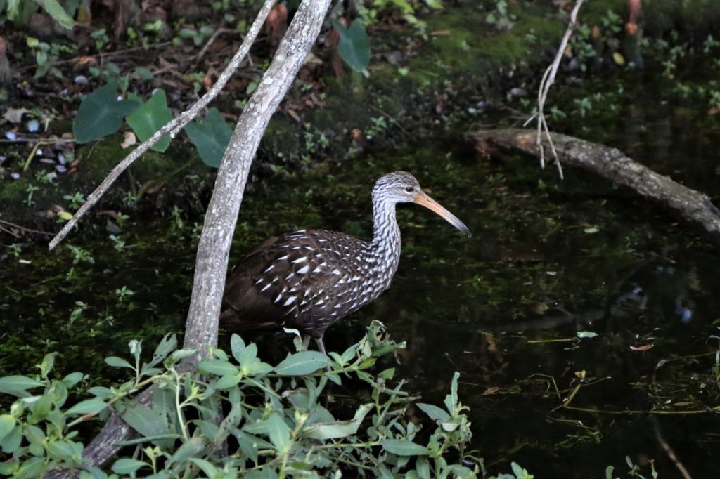
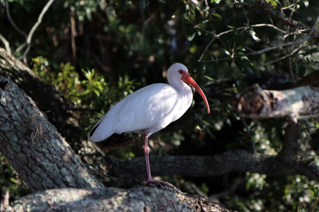
Largo Nature Preserve is a great little park to casually walk with your kids, learn a little at the over 40 interactive displays that line the trail and view some incredible native Florida animals! Here you can…
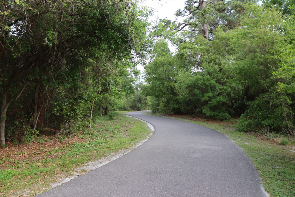
- Walk, Bike or Skate the 3/4 mile asphalt, stroller friendly, loop.
- Wander through nature on the interior wooden boardwalks. This is where our son loves to practice his photography skills!
- Climb the 2 story Observation Tower and see if you can find the otters playing in the lake below.
- Explore the loop around the lake and search for the alligator that lives there.
- Discover some of the over 130 species of birds that call this park their home.
- We discover new, fun animals here every time we visit!
- (This park also states that red foxes and wild turkeys live here. We have yet to see them, but who knows, maybe on our next visit!)
Florida Botanical Gardens
Distance: There is a 2.2 mile loop that circles the Botanical Gardens, the Natural Area Trail (on the east side) and then comes through Heritage Village.
- Various Trails through Beautiful Gardens.
- On the East Side of the Park is a Natural Area Loop.
- South of these Gardens is the Historic Heritage Village Loop.
Difficulty: Easy
Length of Time: Varies – Depending on Trails Walked
Cost: Free
Restroom: 3 Locations Throughout the Gardens
Location: 2 Entrances
- 12520 Ulmerton Rd. Largo, FL 33774
- 12211 Walsingham Rd. Largo, FL 33774
Open: Garden Hours: 7am – 5pm Daily
- Visitor Center Hours: 8-5pm M-F (closed weekends)
Trail Map: Botanical Gardens, Heritage Village & Nature Trail Map
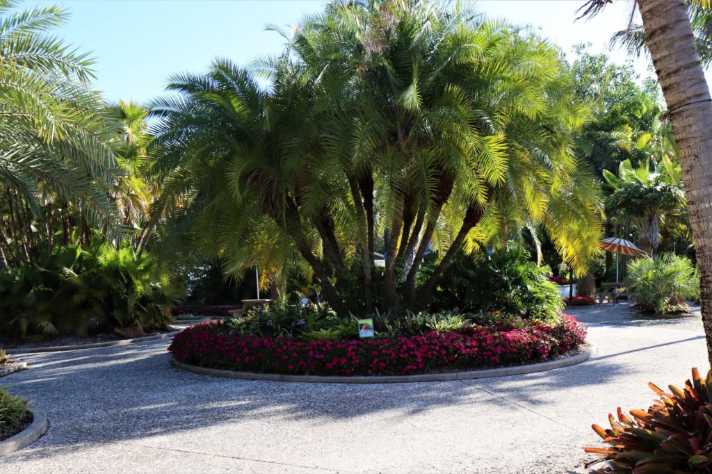
Visiting The Florida Botanical Gardens
The Florida Botanical Gardens is an incredible place to wander the paths and learn something new at every turn! Here you can…
- Discover how diverse and beautiful Florida plants really are. (There are so may incredible plant varieties here! And I love how each plant is labeled!)
- Then walk the short nature area loop dirt trail (on the East side of the park) for a natural Florida plant life experience.
- And if you’re up for more walking, head over to the connecting Heritage Village and take a step back in time as you explore the story of Pinellas County and its history.
- Now I know this site isn’t a true “hiking trail”, but we love the Florida Botanical Gardens and it really is a great place to walk in nature with your family!
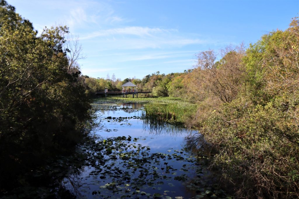
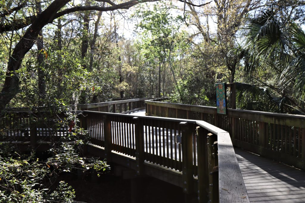
Caladesi Island State Park
Distance:
- Nature Trail – 3 mile loop through an unspoiled Florida habitat.
- Mangrove/ kayak trail – 3 mile trail (rentals available)
- Uncrowded white sand beaches – 3 miles to walk
- Walking to Caladesi from North Clearwater Beach – 6.6 miles round trip
Difficulty:
- Trails/ Beach – Easy
- Walking from Clearwater Beach – Moderate/Hard (but doable for families with older kids) (Best in cooler/ cloudy weather due to the lack of shade on this trail.)
Length of Time: 4 hour limit on the island if taking the 20 minute ferry over
Cost:
- If taking the Ferry – see Honeymoon Island Fees above + the ferry fee of $16 per adult and $8 per child (6-12 years) for a 4 hour stay.
- If arriving by boat – $6 per boat up to 8 people, then $2 per person
- Or if walking from North Clearwater Beach – $2 per pedestrian
Restroom: By Marina/ concessions
Location: Offshore Island, Dunedin FL 34698 (North of Clearwater Beach)
Open: 8am until sundown
Trail Map: Caladesi Island State Park Map
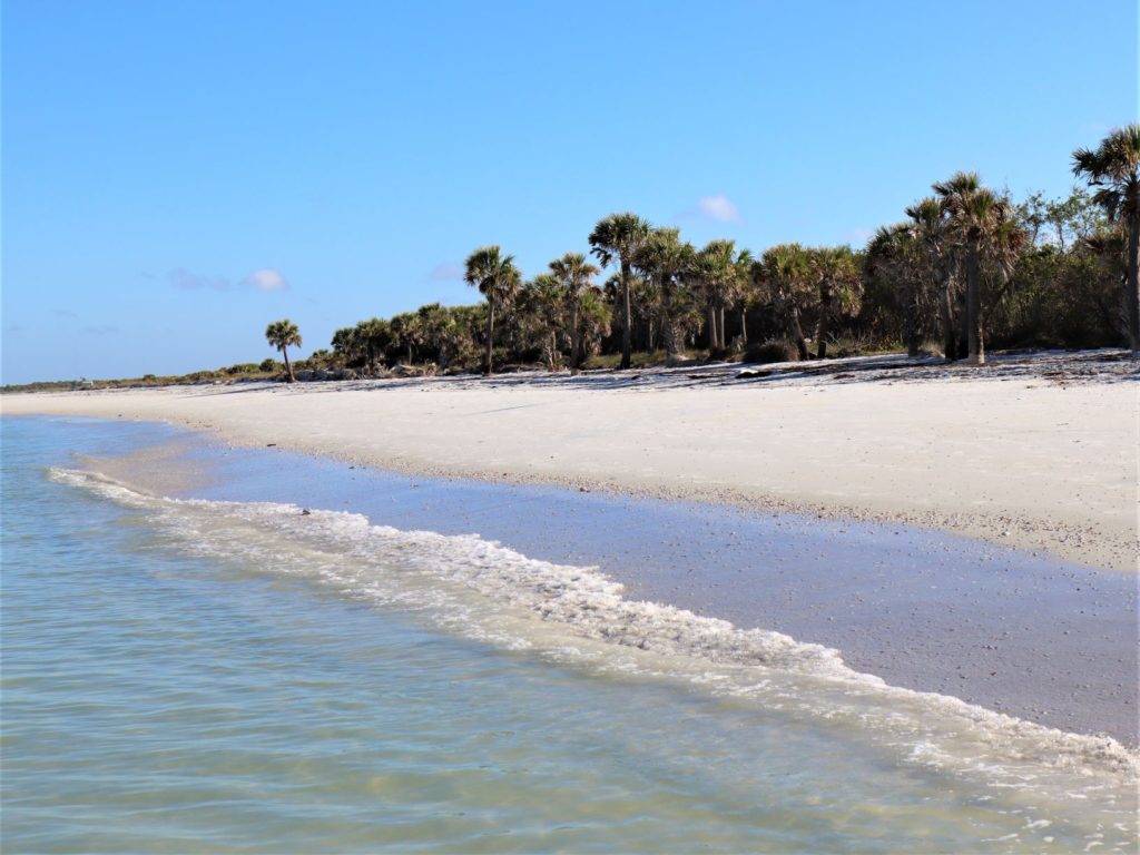
How to Visit Caladesi Island State Park
Caladesi Island is a fantastic uninhabited island where you can hike, kayak and swim in a beautiful tropical setting! Here you can…
- Enjoy 4 miles of one of America’s Top Ranked Beaches!
- Kayak for 3 miles through Caladesi’s bayside mangrove forest.
- Walk the 3 mile nature trail to a historic homestead (from the early 1800s) and learn about who used to live here on Caladesi.
- Grab a bite to eat at Cafe Caladesi by the marina.
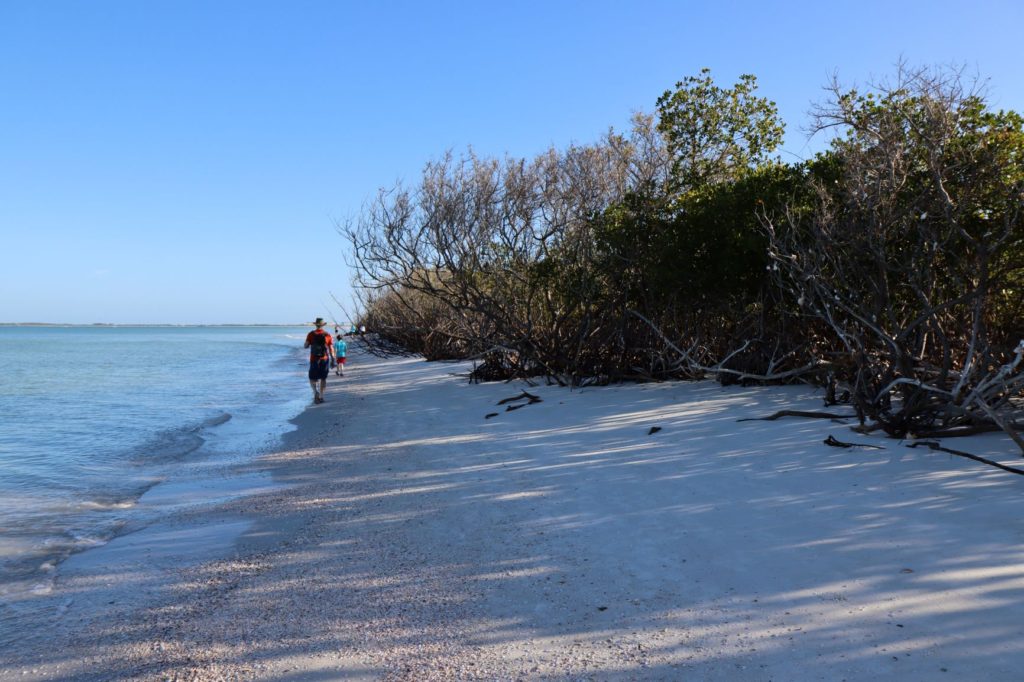
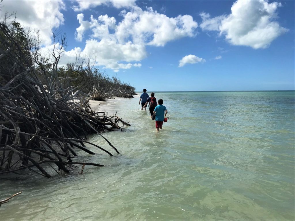
- Or you can Hike to this fantastic “island” from North Clearwater Beach!
- This is a 6.6 mile roundtrip beach walk.
- It’s best to walk at low tide, but Caladesi can be reached at high tide by walking through thigh deep water.
- Find out more: How to Walk to Caladesi Island from N. Clearwater Beach
Have A Great Hike With Your “Traveling Feet!”
If You Found This Post Helpful, Please Share It
& Pin It for Later
For Your Hike:
You May Also Like:
Traveling with Kids & Looking for Great Books?
This post contains Amazon affiliate links, which means we may receive a small commission, at no cost to you, if you make a purchase through a link. Please Read Our Disclosure Policy. We only share products with you that we use and love for our family. Thank you for supporting 10 Traveling Feet.
